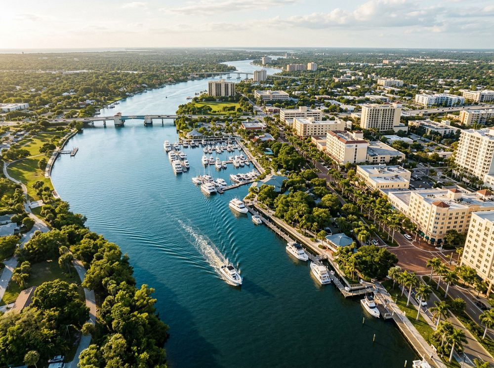
Set along the Caloosahatchee River, San Carlos Bay, and Pine Island Sound, Fort Myers is an easygoing Gulf town where genteel marinas open onto rich inshore grounds. Anglers come for Snook, Redfish, Tarpon and stay for the sheer variety of water within a short run. Our directory lists 20 nearby ramps to launch from, each opening onto its own slice of the local fishery.
Top ramps around Fort Myers
- Bowditch Point Park Kayak Launch · Salt · Matanzas Pass
- Caloosahatchee Creeks Preserve Canoe Launch · Salt · Caloosahatchee River - Popash Creek
- Davis Public Boat Ramp · Salt · Caloosahatchee River
- Fort Myers Beach - Coconut Drive Small Craft Ramp (No Parking) · Salt · LEE County
- Fort Myers Centennial Park · Salt · Caloosahatchee River
- Frizzell-Kontinos Boat Ramp at Punta Rassa · Salt · San Carlos Bay
- Judd Community Park Kayak Launch · Salt · Caloosahatchee River - Hancock Creek
- Lee County Manatee Park Kayak Launch · Salt · Caloosahatchee River - Orange River
What's biting & when
Target species:
Best months: Spring and early summer tarpon in the passes; year-round inshore.
Tides & timing
The nearest NOAA reference station is Fort Myers. Today's predicted tides:
High tide
5:17 AM
1.326 ft (MLLW)
Low tide
11:17 AM
0.549 ft (MLLW)
High tide
5:26 PM
1.658 ft (MLLW)
Full 7-day Fort Myers tide chart →
Ramp locations from the FWC Florida Boat Ramp Inventory. Tide data from NOAA Tides & Currents. Species and seasonal notes are general guidance — always check current FWC regulations and seasons.