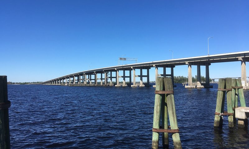

Fort Myers Centennial Park sits on Caloosahatchee River and serves as a dependable saltwater access point for anyone launching in LEE County. Whether you're chasing a morning bite or just getting the family out for a cruise, it puts you on the water fast. With 4 launch lanes, it can handle a busy weekend crowd without the usual bottleneck. As of the last FWC inventory update, a launch fee applies here.
Share your photo of Fort Myers Centennial Park
Been to this ramp? Add a photo to help other Florida boaters know what to expect.
Photos are reviewed before appearing on the site. JPG/PNG/HEIC, up to 15 MB.
At a glance
- County
- LEE
- City
- Fort Myers
- Waterbody
- Caloosahatchee River
- Water type
- Salt or Brackish Water
- Ramp type
- Boat Ramp Within Marina
- Launch lanes
- 4
- Ramp surface
- Concrete
- Dock
- Both Launch and Staging Dock
- Parking surface
- Paved - Asphalt or Concrete
- Trailer parking
- 18
- Restroom
- Flush Toilet
- Fee required
- Yes
- Managed by
- City of Ft Myers
- Status
- Closed with No Further Information
Address: 2150 Edwards Drive, Fort Myers, FL, 33901 · Coordinates: 26.645835, -81.872523
Get directions on Google Maps →
Where it is
Live NEXRAD radar from Iowa State Mesonet — past ~65 minutes animated. Map data © OpenStreetMap contributors. Ramp location from the FWC boat ramp inventory. Not for navigation.
On-water restrictions nearby
- manatee protection Lee (within 14 m)
Restriction zones: For general awareness only — not for navigation or legal determination. Florida Administrative Code and posted on-water signs prevail. Other local, state, or federal restricted zones may exist that are not shown here. Source: FWC manatee protection & boating-safety GIS layers. Zone data as of .
What to know before you launch
- Rinse your trailer and engine with fresh water after launching in salt — corrosion is the enemy on Florida's coast.
- Even with multiple lanes, prep in the staging area first so you're not tying up a lane while loading gear.
- Always check current tides, wind, and marine forecasts before you launch — Florida afternoons can turn stormy fast.
Tides at the nearest station
The closest NOAA tide station is Fort Myers, about 0 miles away. Here are today's predicted highs and lows (referenced to MLLW):
Boater discussion
Been to Fort Myers Centennial Park? Share tide tips, parking notes, or what you caught. Sign in with Google, Facebook, Twitter, or Disqus — comments are reviewed before appearing. See our privacy notes on Disqus for what's shared.