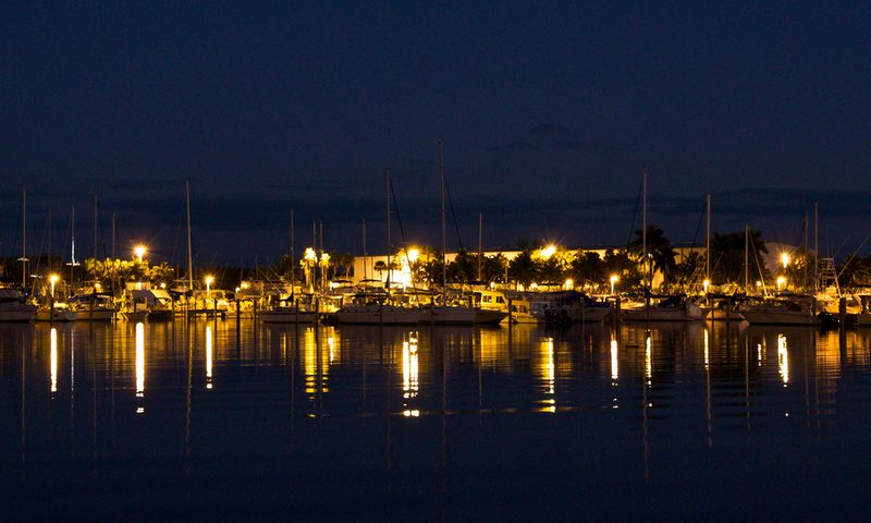

Set on Biscayne Bay, Black Point Park - Boat Ramp offers Miami-Dade County boaters a straightforward saltwater launch with a short run to productive water. It's a practical, no-drama ramp that does exactly what a good launch should. With 10 launch lanes, it can handle a busy weekend crowd without the usual bottleneck. As of the last FWC inventory update, a launch fee applies here.
Boater’s note
Miami-Dade's best-organized public ramp — six lanes, a giant trailer lot, marina, restaurant, and clean restrooms. Free to launch. Straight shot to south Biscayne Bay, Elliott Key, and the Ragged Keys. Weekends are packed but the ramp throughput is fast; expect a 10-minute wait, not an hour.
Share your photo of Black Point Park - Boat Ramp
Been to this ramp? Add a photo to help other Florida boaters know what to expect.
Photos are reviewed before appearing on the site. JPG/PNG/HEIC, up to 15 MB.
At a glance
- County
- Miami-Dade
- City
- Homestead
- Waterbody
- Biscayne Bay
- Water type
- Salt or Brackish Water
- Ramp type
- Boat Ramp Within Marina
- Launch lanes
- 10
- Ramp surface
- Concrete
- Dock
- Both Launch and Staging Dock
- Parking surface
- Paved - Asphalt or Concrete
- Trailer parking
- 128
- Restroom
- Flush Toilet
- Fee required
- Yes
- Managed by
- Miami-Dade County
- Status
- Open for Business
- Hours
- 24 Hours
Address: 24777 SW 87 Avenue, Homestead, FL, 33032 · Coordinates: 25.538364, -80.327663
Get directions on Google Maps →
Where it is
Live NEXRAD radar from Iowa State Mesonet — past ~65 minutes animated. Map data © OpenStreetMap contributors. Ramp location from the FWC boat ramp inventory. Not for navigation.
On-water restrictions nearby
- manatee protection Miami-Dade (within 18 m)
- manatee protection Miami-Dade (within 278 m)
- manatee protection Miami-Dade (within 395 m)
Restriction zones: For general awareness only — not for navigation or legal determination. Florida Administrative Code and posted on-water signs prevail. Other local, state, or federal restricted zones may exist that are not shown here. Source: FWC manatee protection & boating-safety GIS layers. Zone data as of .
What to know before you launch
- Rinse your trailer and engine with fresh water after launching in salt — corrosion is the enemy on Florida's coast.
- Even with multiple lanes, prep in the staging area first so you're not tying up a lane while loading gear.
- Always check current tides, wind, and marine forecasts before you launch — Florida afternoons can turn stormy fast.
Tides at the nearest station
The closest NOAA tide station is Virginia Key, Biscayne Bay, about 17 miles away. Here are today's predicted highs and lows (referenced to MLLW):
Boater discussion
Been to Black Point Park - Boat Ramp? Share tide tips, parking notes, or what you caught. Sign in with Google, Facebook, Twitter, or Disqus — comments are reviewed before appearing. See our privacy notes on Disqus for what's shared.