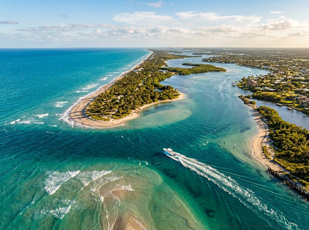
West Palm Beach is the Treasure Coast, a sailfishing stronghold where rivers, lagoons, and inlets braid together. Boaters here work Lake Worth Lagoon, the Palm Beach Inlet, and the Gulf Stream edge, and the fishing runs deep — Sailfish, Snook, Mahi-Mahi headline the local catch. With 17 public launch points in and around town, getting on the water is rarely the hard part; deciding where to point the bow is.
Top ramps around West Palm Beach
- Currie Park and Boat Ramp · Salt · Lake Worth Lagoon
- Grassy Waters Preserve Gator Lake Paddlecraft Access · Fresh · Gator Lake
- Jim Barry Light Harbor Park · Salt · Atlantic ICW - Lake Worth Lagoon
- Lake Catherine Park Boat Ramp (No Motors) · Fresh · Lake Catherine / Lwdd Canal C-17 (palm Beach County)
- Lake Clarke Shores Boat Ramp Park - Paddlecraft Launch Dock · Fresh · Lake Clarke
- Lake Clarke Shores Boat Ramp Park - Town Permit Required · Fresh · Lake Clarke
- Lake Mangonia Park and Public Boat Ramp (No Motors) · Fresh · Lake Mangonia
- Lake Park Harbor Marina · Salt · Atlantic ICW (palm Beach County)
Browse all Palm Beach County ramps →
What's biting & when
Target species:
Best months: Winter sailfish; spring and summer for the offshore pelagics.
Tides & timing
The nearest NOAA reference station is Lake Worth Pier (Ocean). Today's predicted tides:
Low tide
3:14 AM
0.203 ft (MLLW)
High tide
9:25 AM
3.058 ft (MLLW)
Low tide
3:31 PM
0.174 ft (MLLW)
High tide
9:44 PM
3.119 ft (MLLW)
Full 7-day Lake Worth Pier (Ocean) tide chart →
Ramp locations from the FWC Florida Boat Ramp Inventory. Tide data from NOAA Tides & Currents. Species and seasonal notes are general guidance — always check current FWC regulations and seasons.