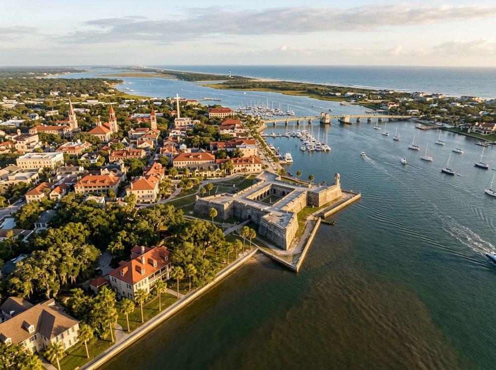
Set along the Matanzas River, St. Augustine Inlet, and the Tolomato River, St. Augustine is a historic river city where tidal creeks and the Intracoastal define the local run. Anglers come for Redfish, Spotted Seatrout, Flounder and stay for the sheer variety of water within a short run. Our directory lists 29 nearby ramps to launch from, each opening onto its own slice of the local fishery.
Top ramps around St. Augustine
- 206 Causeway Kayak Beach · Salt · Saint Johns County
- Anastasia State Park Canoe/Kayak/Sailboard Access · Salt · Salt Run
- Boating Club Road Public Boat Ramp · Salt · Tolomato River
- Coastal Drive Kayak Beach · Salt · Saint Johns County
- Devils Elbow Fishing Resort · Salt · Matanzas River
- Douglas C. Crane Park · Salt · Matanzas River
- Faver-Dykes State Park Boat Ramp · Salt · Pellicer Creek
- Fort Matanzas National National Monument - Matanzas Inlet West Parking Lot Paddlecraft Access · Salt · Saint Johns County
Browse all Saint Johns County ramps →
What's biting & when
Target species:
Best months: Fall redfish run; summer tarpon and shark near the inlet.
Tides & timing
The nearest NOAA reference station is St. Augustine Beach. Today's predicted tides:
Low tide
3:19 AM
0.242 ft (MLLW)
High tide
9:32 AM
5.048 ft (MLLW)
Low tide
3:30 PM
0.313 ft (MLLW)
High tide
9:52 PM
5.252 ft (MLLW)
Full 7-day St. Augustine Beach tide chart →
Ramp locations from the FWC Florida Boat Ramp Inventory. Tide data from NOAA Tides & Currents. Species and seasonal notes are general guidance — always check current FWC regulations and seasons.