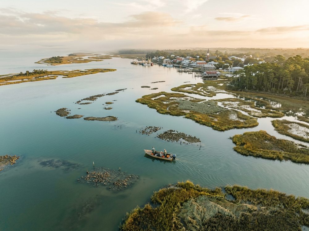
Whether you fish, cruise, or just anchor up on a sandbar, Port St. Joe delivers. It's the Forgotten Coast, an unhurried stretch of oyster bays and empty beaches, threaded by St. Joseph Bay, the clear grass flats, and the Gulf beaches. The headline species — Redfish, Spotted Seatrout, Scallops — draw anglers from across the state, and 9 nearby ramps keep the water within easy reach.
Top ramps around Port St. Joe
- Apalachicola River Wildlife and Environmental Area - Misfit Landing Boat Ramp · Salt · Apalachicola River - Sauls Creek
- Apalachicola River Wildlife and Environmental Area - Saul's Creek Canoe Launch · Salt · Apalachicola River - Sauls Creek
- Frank Pate Park at Port St. Joe · Salt · Saint Joseph Bay
- Highland View Public Boat Ramp · Salt · Saint Joseph Bay
- Indian Pass Beach Public Boat Ramp · Salt · Apalchicola Bay - St. Vincent Sound
- Odena Landing at Depot Creek Public Boat Ramp · Salt · Depot Creek / Lake Wimico
- St. Joseph Bay Aquatic and Buffer Preserve Troy Deal Canoe Launch · Salt · St. Joseph Bay
- T. H. Stone Memorial St. Joseph Peninsula State Park - Boat Ramp and Kayak Access · Salt · St. Joseph Bay
Browse all Gulf County ramps →
What's biting & when
Target species:
Best months: Summer scalloping in St. Joseph Bay; fall for inshore reds.
Tides & timing
The nearest NOAA reference station is Apalachicola. Today's predicted tides:
High tide
5:38 AM
1.766 ft (MLLW)
Low tide
11:27 AM
0.996 ft (MLLW)
High tide
5:11 PM
1.959 ft (MLLW)
Full 7-day Apalachicola tide chart →
Ramp locations from the FWC Florida Boat Ramp Inventory. Tide data from NOAA Tides & Currents. Species and seasonal notes are general guidance — always check current FWC regulations and seasons.