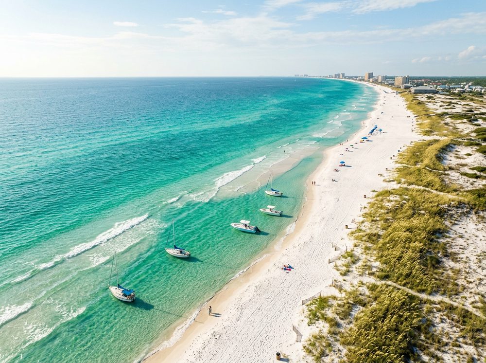
Panama City rewards boaters who know their tides. As the Emerald Coast, where sugar-white sand fronts some of the deepest, clearest water in the Gulf, it offers St. Andrew Bay, the pass, and the artificial reefs offshore and a fishery built around Redfish, Spotted Seatrout, King Mackerel. Pick from 52 launch points nearby, watch the wind, and you'll understand why this stretch of coast has such a loyal following.
Top ramps around Panama City
- B.V. Buchanan Bridge North Shore Undeveloped Access Point · Salt · West Bay - ICW
- B.V. Buchanan Park and Public Boat Ramp · Salt · West Bay - ICW
- Bay County - 25th Street Paddlecraft Access · Salt · West Bay
- Bay County 26th Street Park Paddlecraft Access · Salt · North Bay
- Bayside Marina of Panama City Beach · Salt · St. Andrew Bay - West Bay
- Bob George Park Public Boat Ramp · Salt · Saint Andrew Bay - Watson Bayou
- Burnt Mill Creek Public Boat Ramp · Salt · Burnt Mill Creek - West Bay
- Camp Helen State Park Kayak Rentals · Fresh · Lake Powell
What's biting & when
Target species:
Best months: Fall inshore for reds and trout; summer for offshore bottom fish.
Tides & timing
The nearest NOAA reference station is Panama City. Today's predicted tides:
High tide
1:20 AM
0.98 ft (MLLW)
Low tide
4:40 AM
0.883 ft (MLLW)
High tide
12:28 PM
1.376 ft (MLLW)
Low tide
7:01 PM
0.876 ft (MLLW)
Full 7-day Panama City tide chart →
Ramp locations from the FWC Florida Boat Ramp Inventory. Tide data from NOAA Tides & Currents. Species and seasonal notes are general guidance — always check current FWC regulations and seasons.