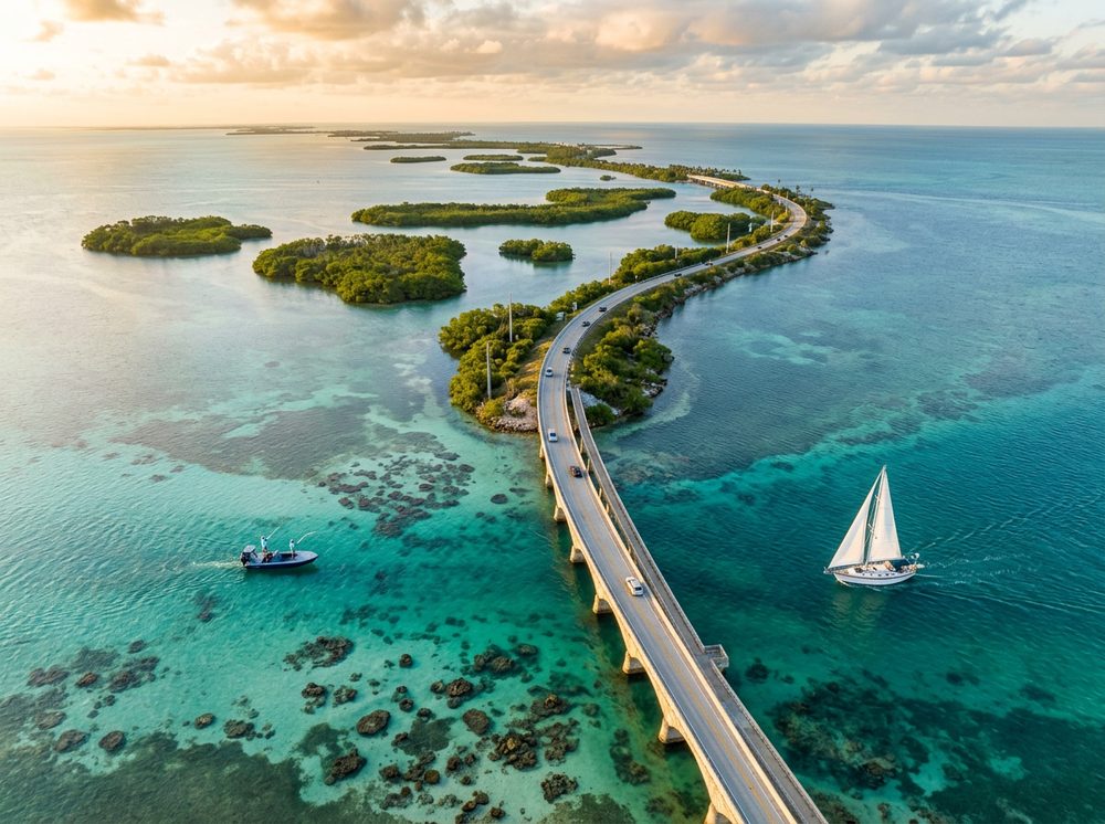
Marathon is the end of the road, where the Atlantic reef and shallow backcountry meet in famously clear water. Boaters here work the Atlantic reef, Florida Bay backcountry, and the bridge channels, and the fishing runs deep — Tarpon, Permit, Yellowtail Snapper headline the local catch. With 12 public launch points in and around town, getting on the water is rarely the hard part; deciding where to point the bow is.
Top ramps around Marathon
- City of Marathon 33rd Street Boat Ramp · Salt · Florida Bay
- Coco Plum Yacht Club Pay Ramp (No Parking, Launch and Retrieve Only) · Salt · Coco Plum
- Conch Key Marina and Lodge · Salt · Florida Bay / Hawk Channel
- Crawl Key (Mile Marker 54) Public Boat Ramp · Salt · Florida Bay
- Curry Hammock State Park Canoe/Kayak Launch · Salt · Atlantic Ocean
- Grassy Point Marina · Salt · Florida Bay
- Harbour Point Marine (No Parking - In and Out Only) · Salt · Boot Key Harbor
- Long Key State Park - Kayak Beach · Salt · Atlantic Ocean
Browse all Monroe County ramps →
What's biting & when
Target species:
Best months: Spring tarpon under the bridges; summer for reef and offshore.
Tides & timing
The nearest NOAA reference station is Vaca Key, USCG Station, Florida Bay. Today's predicted tides:
High tide
3:55 AM
0.963 ft (MLLW)
Low tide
7:40 AM
0.618 ft (MLLW)
High tide
3:23 PM
1.185 ft (MLLW)
Low tide
8:18 PM
0.593 ft (MLLW)
Full 7-day Vaca Key, USCG Station, Florida Bay tide chart →
Ramp locations from the FWC Florida Boat Ramp Inventory. Tide data from NOAA Tides & Currents. Species and seasonal notes are general guidance — always check current FWC regulations and seasons.