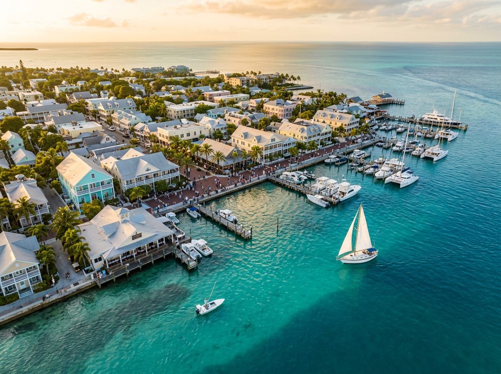
There's a reason boaters love Key West: it's the end of the road, where the Atlantic reef and shallow backcountry meet in famously clear water. The atlantic reef, the backcountry flats, and the gulf-side channels give you protected runs and open-water access alike, and the target species — Tarpon, Permit, Bonefish among them — keep rods bent year-round. Start with any of the 9 ramps we've mapped nearby.
Top ramps around Key West
- City of Key West 11th Street Public Boat Ramp · Salt · Riviera Canal / Cow Key Channel
- Fort Zachary Taylor Paddle Craft Beach · Salt · Atlantic Ocean
- Geiger Key Undeveloped Access Site · Salt · Hawk Channel / Atlantic Ocean
- Gulf View Park Public Boat Ramp (aka. Barcelona) Small Boats Only · Salt · Back Country
- Key West City Marina at Garrison Bight · Salt · Garrison Bight
- Oceanside Marina of Stock Island (No Trailer Parking) · Salt · Boca Chica Channel
- Shark Key Wayside Park Public Boat Ramp (Mile Marker 11) NO PARKING · Salt · Similar Sound / Hawk Channel / Atlantic Ocean
- Simonton Street Beach Public Boat Ramp · Salt · Key West Harbor
Browse all Monroe County ramps →
What's biting & when
Target species:
Best months: Spring for the flats grand slam; winter for reef and wreck fishing.
Tides & timing
The nearest NOAA reference station is Key West. Today's predicted tides:
High tide
4:16 AM
1.941 ft (MLLW)
Low tide
11:43 AM
0.756 ft (MLLW)
High tide
6:45 PM
1.462 ft (MLLW)
Low tide
11:07 PM
1.256 ft (MLLW)
Full 7-day Key West tide chart →
Ramp locations from the FWC Florida Boat Ramp Inventory. Tide data from NOAA Tides & Currents. Species and seasonal notes are general guidance — always check current FWC regulations and seasons.