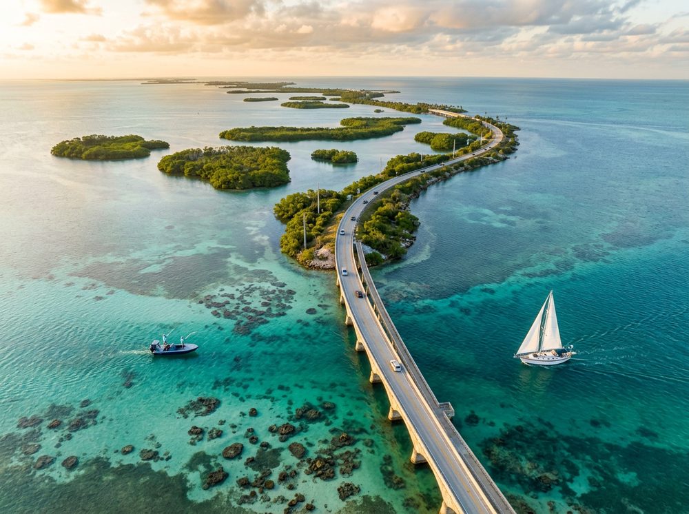
Islamorada rewards boaters who know their tides. As the end of the road, where the Atlantic reef and shallow backcountry meet in famously clear water, it offers the famous flats, Islamorada's channels, and the Atlantic reef line and a fishery built around Bonefish, Tarpon, Permit. Pick from 7 launch points nearby, watch the wind, and you'll understand why this stretch of coast has such a loyal following.
Top ramps around Islamorada
- Anne's Beach Paddlecraft Access East · Salt · Atlantic Ocean
- Anne's Beach Paddlecraft Access West · Salt · Atlantic Ocean
- Green Turtle Hammock Nature Preserve Kayak Launch · Salt · Florida Bay
- Indian Key Fill Public Boat Ramp (Primitive - For Smaller Boats) CLOSED FOR REPAIRS · Salt · Indian Key Channel - Florida Bay
- Islamorada - Blackwood Road Dinghy Landing (Not Recommended - No Parking) · Salt · Florida Bay
- Library Beach Park Paddlecraft Access · Salt · Florida Bay
- Plantation Yacht Harbor Marina at Founders Park · Salt · Florida Bay
See every Monroe County ramp →
What's biting & when
Target species:
Best months: Spring flats fishing; winter sailfish on the reef edge.
Tides & timing
The nearest NOAA reference station is Vaca Key, USCG Station, Florida Bay. Today's predicted tides:
High tide
3:55 AM
0.963 ft (MLLW)
Low tide
7:40 AM
0.618 ft (MLLW)
High tide
3:23 PM
1.185 ft (MLLW)
Low tide
8:18 PM
0.593 ft (MLLW)
Full 7-day Vaca Key, USCG Station, Florida Bay tide chart →
Ramp locations from the FWC Florida Boat Ramp Inventory. Tide data from NOAA Tides & Currents. Species and seasonal notes are general guidance — always check current FWC regulations and seasons.