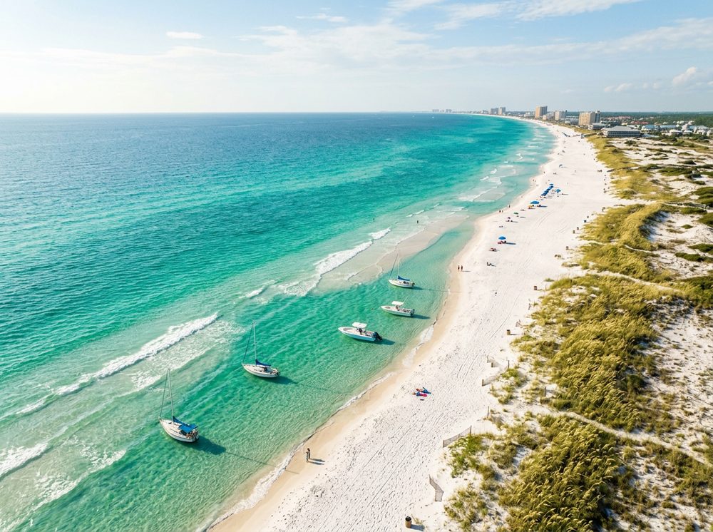
Set along Choctawhatchee Bay, Santa Rosa Sound, and the passes, Fort Walton Beach is the Emerald Coast, where sugar-white sand fronts some of the deepest, clearest water in the Gulf. Anglers come for Redfish, Spotted Seatrout, King Mackerel and stay for the sheer variety of water within a short run. Our directory lists 12 nearby ramps to launch from, each opening onto its own slice of the local fishery.
Top ramps around Fort Walton Beach
- Fort Walton Beach Landing (Kayaks or Very Small Boats) · Salt · Santa Rosa Sound
- Garnier's Beach Park (No Parking for Trailers - Small Boats Only) · Salt · Choctawhatchee Bay
- Gulf Islands National Seashore - Okaloosa Day Use Area Small Craft Launch · Salt · Choctawhatchee Bay
- Hood Avenue Neighborhood Park Kayak Access (Limited Parking) · Salt · Choctawhatchee Bay
- Liza Jackson Park · Salt · Santa Rosa Sound
- Pocahontas Boat Ramp (No Parking - For Small Boats) · Salt · Choctawhatchee Bay - Cinco Bayou
- Rickey Avenue Public Boat Ramp (Limited Parking) · Salt · Choctawhatchee Bay - Don's Bayou
- Ross Marler Park Boat Ramp · Salt · Choctawhatchee Bay
Browse all Okaloosa County ramps →
What's biting & when
Target species:
Best months: Spring cobia; fall inshore for reds and trout in the sound.
Tides & timing
The nearest NOAA reference station is Pensacola. Today's predicted tides:
High tide
1:34 PM
1.209 ft (MLLW)
Low tide
8:59 PM
0.896 ft (MLLW)
Full 7-day Pensacola tide chart →
Ramp locations from the FWC Florida Boat Ramp Inventory. Tide data from NOAA Tides & Currents. Species and seasonal notes are general guidance — always check current FWC regulations and seasons.