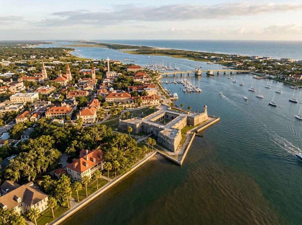
Daytona Beach is a historic river city where tidal creeks and the Intracoastal define the local run. Boaters here work the Halifax River, Ponce de Leon Inlet, and the Intracoastal, and the fishing runs deep — Redfish, Spotted Seatrout, Flounder headline the local catch. With 10 public launch points in and around town, getting on the water is rarely the hard part; deciding where to point the bow is.
Top ramps around Daytona Beach
- Bethune Point Park · Salt · Atlantic ICW (volusia County) Halifax River
- City Island Recreation Hall Boat Ramp (Small Boats - Limited Parking) · Salt · Atlantic ICW (volusia County) Halifax River
- Halifax Harbor Marina · Salt · Atlantic ICW (volusia County) Halifax River
- Holly Hill Sunrise Park · Salt · Atlantic ICW (volusia County) Halifax River
- Port Orange Riverwalk Park Canoe/Kayak/SUP Launch · Salt · Halifax River
- Riverfront Veterans Memorial Park - South Daytona · Salt · Atlantic ICW (volusia County) Halifax River
- Seabreeze Park And Boat Ramp · Salt · Atlantic ICW (volusia County) Halifax River
- Tiger Bay State Forest - Indian Lake Day Use Area Canoe Access · Fresh · Indian Lake
Browse all Volusia County ramps →
What's biting & when
Target species:
Best months: Fall redfish; summer tarpon in the Ponce Inlet area.
Tides & timing
The nearest NOAA reference station is St. Augustine Beach. Today's predicted tides:
Low tide
3:19 AM
0.242 ft (MLLW)
High tide
9:32 AM
5.048 ft (MLLW)
Low tide
3:30 PM
0.313 ft (MLLW)
High tide
9:52 PM
5.252 ft (MLLW)
Full 7-day St. Augustine Beach tide chart →
Ramp locations from the FWC Florida Boat Ramp Inventory. Tide data from NOAA Tides & Currents. Species and seasonal notes are general guidance — always check current FWC regulations and seasons.