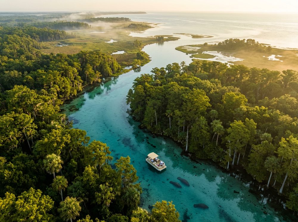
There's a reason boaters love Crystal River: it's the Nature Coast, a spring-fed, seagrass-rich shoreline that stays refreshingly undeveloped. Kings bay, the crystal river, and the spring-fed flats of the nature coast give you protected runs and open-water access alike, and the target species — Redfish, Spotted Seatrout, Cobia among them — keep rods bent year-round. Start with any of the 20 ramps we've mapped nearby.
Top ramps around Crystal River
- Adventure Center at the Plantation on Crystal River · Salt · Crystal River - Kings Bay
- Cross Florida Greenway - Withlacoochee Barge Canal Boat Ramp · Salt · Withlacoochee River (west Central Florida) Barge Canal
- Cross Florida Greenway - Withlacoochee Bay Trail - 4.5 mile Canal Side Kayak Launch · Salt · Withlacoochee River (west Central Florida) Barge Canal
- Cross Florida Greenway - Withlacoochee Bay Trail - 4.5 mile Marsh Side Kayak Launch · Salt · Gulf of America - Crystal Bay
- Crystal River City Boat Ramp at 3rd Avenue · Salt · Crystal River - Kings Bay
- Crystal River City Boat Ramp at Pete's Pier Marina · Salt · Crystal River - Kings Bay
- Crystal River Kayak Company (Kayak Launch Dock) · Salt · Crystal River - Kings Bay
- Crystal River Preserve State Park - Mullet Hole Kayak Launch · Salt · Crystal River
Browse all Citrus County ramps →
What's biting & when
Target species:
Best months: Summer scalloping and inshore; winter for the springs and manatees.
Tides & timing
The nearest NOAA reference station is Cedar Key. Today's predicted tides:
High tide
3:27 AM
3.676 ft (MLLW)
Low tide
9:26 AM
1.053 ft (MLLW)
High tide
3:23 PM
4.181 ft (MLLW)
Low tide
9:53 PM
0.673 ft (MLLW)
Full 7-day Cedar Key tide chart →
Ramp locations from the FWC Florida Boat Ramp Inventory. Tide data from NOAA Tides & Currents. Species and seasonal notes are general guidance — always check current FWC regulations and seasons.