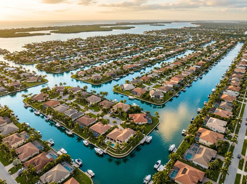
Cape Coral is a maze of canals and man-made waterways that put a boat ramp practically in everyone's backyard. Boaters here work more than 400 miles of canals, the Caloosahatchee, and Matlacha Pass, and the fishing runs deep — Snook, Redfish, Tarpon headline the local catch. With 23 public launch points in and around town, getting on the water is rarely the hard part; deciding where to point the bow is.
Top ramps around Cape Coral
- City of Cape Coral - BMX Strausser Park Public Boat Ramp · Fresh · Cape Coral Canal System
- City of Cape Coral - Burnt Store Public Boat Ramp · Salt · Cape Coral Canal System
- City of Cape Coral - Horton Park Public Boat Ramp · Salt · Caloosahatchee River
- City of Cape Coral - Primitive Boat Ramp - 1208 Academy Boulevard · Fresh · Cape Coral Canal System
- City of Cape Coral - Primitive Boat Ramp - 1519 NW 8th Terrace · Fresh · Burnt Store Canal System
- City of Cape Coral - Primitive Boat Ramp - 1609 NE 12th Street · Fresh · Cape Coral Canal System
- City of Cape Coral - Primitive Boat Ramp - 1624 NE 33rd Lane · Fresh · Cape Coral Canal System
- City of Cape Coral - Primitive Boat Ramp - 2111 NE 5th Terrace · Fresh · Cape Coral Canal System - Cleveland Canal - Cement Pond
What's biting & when
Target species:
Best months: Spring tarpon; fall for redfish schools on the flats.
Tides & timing
The nearest NOAA reference station is Fort Myers. Today's predicted tides:
High tide
5:17 AM
1.326 ft (MLLW)
Low tide
11:17 AM
0.549 ft (MLLW)
High tide
5:26 PM
1.658 ft (MLLW)
Full 7-day Fort Myers tide chart →
Ramp locations from the FWC Florida Boat Ramp Inventory. Tide data from NOAA Tides & Currents. Species and seasonal notes are general guidance — always check current FWC regulations and seasons.