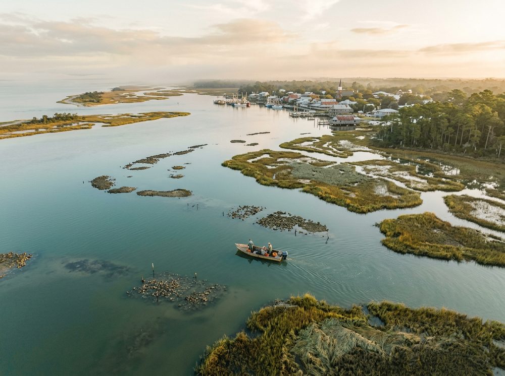
Apalachicola rewards boaters who know their tides. As the Forgotten Coast, an unhurried stretch of oyster bays and empty beaches, it offers Apalachicola Bay, the Apalachicola River, and St. George Sound and a fishery built around Redfish, Spotted Seatrout, Flounder. Pick from 7 launch points nearby, watch the wind, and you'll understand why this stretch of coast has such a loyal following.
Top ramps around Apalachicola
- ANERR - St. Vincent Sound - 10 Mile Access Point · Salt · Apalchicola Bay - St. Vincent Sound
- ANERR - St. Vincent Sound - 8 Mile Access Point · Salt · Apalchicola Bay - St. Vincent Sound
- Battery Park Boat Ramp · Salt · Apalachicola Bay
- Henry Abercrombie Jr. Public Boat Ramp · Salt · Apalachicola River
- John B Meyer Harbor House · Salt · Apalachicola River
- Scipio Creek Marina · Salt · Apalachicola River
- Seafood Landing Park & Public Boat Ramp and Kayak Launch · Salt · Apalachicola Bay
See every Franklin County ramp →
What's biting & when
Target species:
Best months: Fall for reds and trout; summer tarpon along the beaches.
Tides & timing
The nearest NOAA reference station is Apalachicola. Today's predicted tides:
High tide
5:38 AM
1.766 ft (MLLW)
Low tide
11:27 AM
0.996 ft (MLLW)
High tide
5:11 PM
1.959 ft (MLLW)
Full 7-day Apalachicola tide chart →
Ramp locations from the FWC Florida Boat Ramp Inventory. Tide data from NOAA Tides & Currents. Species and seasonal notes are general guidance — always check current FWC regulations and seasons.