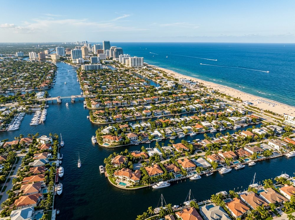
Fort Lauderdale is a maze of canals and man-made waterways that put a boat ramp practically in everyone's backyard. Boaters here work the New River, Port Everglades, and hundreds of canal miles, and the fishing runs deep — Sailfish, Mahi-Mahi, Wahoo headline the local catch. With 43 public launch points in and around town, getting on the water is rarely the hard part; deciding where to point the bow is.
Top ramps around Fort Lauderdale
- Cooleys Landing Public Boat Ramp · Salt · New River (broward County)
- Cox's Landing 15th Street Boat Ramp · Salt · Stranahan River / Port Everglades
- George English Park - Boat Ramp · Salt · Atlantic ICW (broward County) Middle River
- Bill Kieth Preserve Kayak Beach · Salt · New River
- Colohatchee Public Boat Ramp · Salt · Middle River South Fork
- Donn Eisele Park Dock · Salt · Middle River - North Fork
- Esplanade Park Public Kayak Dock · Salt · Middle River
- Everglades Holiday Park Boat Ramp · Fresh · L-67a Canal
Browse all Broward County ramps →
What's biting & when
Target species:
Best months: Winter sailfish; spring and summer for mahi and wahoo offshore.
Tides & timing
The nearest NOAA reference station is South Port Everglades, ICWW. Today's predicted tides:
Full 7-day South Port Everglades, ICWW tide chart →
Gear tips for Fort Lauderdale
Local boaters here fish the New River, Port Everglades, and hundreds of canal miles. A dependable chartplotter and VHF radio for the open water go a long way. Start with our reviews of the best fish finders, marine GPS units, and trolling motors.